
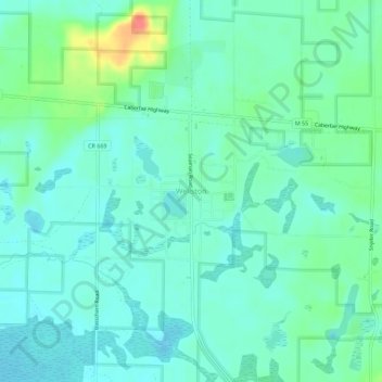
Wellston topographic map
Click on the map to display elevation.
About this map
Name: Wellston topographic map, elevation, terrain.
Average elevation: 778 ft
Minimum elevation: 732 ft
Maximum elevation: 919 ft
Manistee County trails, hiking, mountain biking, running and outdoor activities
Other topographic maps
Click on a map to view its topography, its elevation and its terrain.
Arcadia Township
United States > Michigan > Manistee County
The unincorporated community of Arcadia is located within the township on M-22 on the shore of Lake Michigan. Arcadia is at 44°29′35″N 86°13′54″W / 44.49306°N 86.23167°W / 44.49306; -86.23167. The elevation is 587 feet (179 m) above sea level. The ZIP code is 49613.
Average elevation: 709 ft