
Mount Clore topographic map
Click on the map to display elevation.
About this map
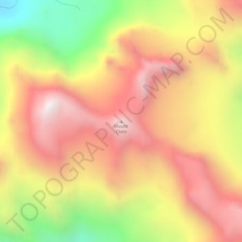
Name: Mount Clore topographic map, elevation, terrain.
Average elevation: 5,256 ft
Minimum elevation: 3,084 ft
Maximum elevation: 6,847 ft
Other topographic maps
Click on a map to view its topography, its elevation and its terrain.
Baron Lake
Canada > British Columbia > Regional District of Kitimat-Stikine > Area C (Butedale/Kitlope/Kitsumkalum)
Average elevation: 1,086 ft
Milne Island
Canada > British Columbia > Regional District of Kitimat-Stikine > Area C (Butedale/Kitlope/Kitsumkalum)
Average elevation: 30 ft