Geolocate

Fancy Bluff topographic map

Click on the map to display elevation.

About this map

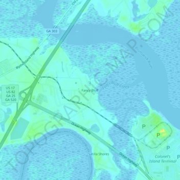
Name: Fancy Bluff topographic map, elevation, terrain.

Location: Fancy Bluff, Glynn County, Georgia, United States (31.11995 -81.57816 31.15995 -81.53816)

Average elevation: 10 ft

Minimum elevation: -10 ft

Maximum elevation: 85 ft

Glynn County trails, hiking, mountain biking, running and outdoor activities

Other topographic maps

Click on a map to view its topography, its elevation and its terrain.

Gear up for your next adventure:

🎒Waterproof Dry Bags - Keep your electronics and maps dry inside your pack
GPS Sports Watch - GPS watch for running, hiking and training
🦟Ultrasonic Repellers - Create a bug-free zone at your camp or rest stop
🛠️Outdoor Gear Repair Kit - Essential tools to fix gear on the trail
🔭Telescopic Hiking Pole - Adjustable pole for hiking stability

As an Amazon Associate, this site earns from qualifying purchases at no extra cost to you.