Geolocate

Yala Peak topographic map

Click on the map to display elevation.

About this map
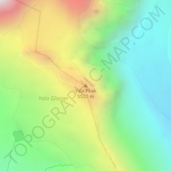
Name: Yala Peak topographic map, elevation, terrain.

Location: Yala Peak, Gosaikunda, Rasuwa, Bagmati Province, Nepal (28.24092 85.62284 28.24102 85.62294)

Average elevation: 17,060 ft

Minimum elevation: 15,049 ft

Maximum elevation: 20,538 ft

Gear up for your next adventure:

💧Water Filtration Bottles - Safely drink from streams and lakes while exploring
🕶️Glacier Sunglasses - Side shields to protect eyes from high-altitude snow glare
🥾Men's Hiking Boots - Durable, waterproof footwear for rugged terrain and steep inclines
🧥Waterproof Jacket for Hiking - Breathable and rugged rain jacket for outdoor excursions
⌚Solar GPS Watches - Advanced multisport watches with built-in topographic maps

As an Amazon Associate, this site earns from qualifying purchases at no extra cost to you.