Geolocate

Kessinger topographic map

Click on the map to display elevation.

About this map

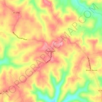
Name: Kessinger topographic map, elevation, terrain.

Location: Kessinger, Hart County, Kentucky, 42765, United States (37.28589 -85.97942 37.32589 -85.93942)

Average elevation: 853 ft

Minimum elevation: 620 ft

Maximum elevation: 994 ft

Hart County trails, hiking, mountain biking, running and outdoor activities

Other topographic maps

Click on a map to view its topography, its elevation and its terrain.

Munfordville

United States > Kentucky > Hart County

Average elevation: 627 ft

Horse Cave

United States > Kentucky > Hart County

Average elevation: 679 ft

Bonnieville

United States > Kentucky > Hart County

Average elevation: 696 ft

Gear up for your next adventure:

🛌Ultralight Sleeping Bags - Compact down bags for cold nights in the wilderness
🦶Hiking Gaiters - Keep debris and water out of your boots
📶Vehicle Signal Boosters - Improve reception in rural areas while driving to trailheads
📦Gear Storage Bags - Organize and protect outdoor equipment
📻Weather Alert Radios - Stay informed of storm risks while off-the-grid

As an Amazon Associate, this site earns from qualifying purchases at no extra cost to you.