Geolocate

Letcher topographic map

Click on the map to display elevation.

About this map

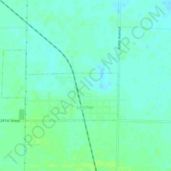
Name: Letcher topographic map, elevation, terrain.

Location: Letcher, Sanborn County, South Dakota, United States (43.89508 -98.15707 43.90623 -98.13141)

Average elevation: 1,302 ft

Minimum elevation: 1,286 ft

Maximum elevation: 1,316 ft

Sanborn County trails, hiking, mountain biking, running and outdoor activities

Gear up for your next adventure:

🥘Titanium Cookware - Durable, featherlight pots and pans for backpacking
⛑️Personal Locator Beacon - Safety beacon for emergencies
📚Navigation Handbooks - Master the art of reading topographic maps and using a compass
📌Outdoor GPS Map App - Apps and devices for digital topographic navigation
🧤Hiking Gloves - Protective gloves for rugged trails

As an Amazon Associate, this site earns from qualifying purchases at no extra cost to you.