
Blue Diamond topographic map
Click on the map to display elevation.
Blue Diamond
Blue Diamond is the site of Cottonwood Spring (formerly known as Ojo de Cayetana, or Pearl Spring), a watering place and camp site on the Old Spanish Trail and the later Mormon Road between Mountain Springs and Las Vegas Springs. The springs are located on a mountainside south of the town at 36°02′44″N 115°24′22″W / 36.04556°N 115.40611°W / 36.04556; -115.40611 at an elevation of 3409 feet.[3]
About this map
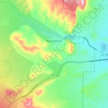
Name: Blue Diamond topographic map, elevation, terrain.
Location: Blue Diamond, Clark County, Nevada, 89004, United States (36.00956 -115.44485 36.06585 -115.35888)
Average elevation: 3,615 ft
Minimum elevation: 3,140 ft
Maximum elevation: 4,600 ft
Clark County trails, hiking, mountain biking, running and outdoor activities