Geolocate

Bunkers Copse topographic map

Click on the map to display elevation.

About this map

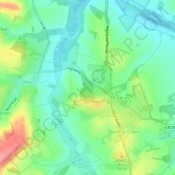
Name: Bunkers Copse topographic map, elevation, terrain.

Location: Bunkers Copse, Rookley, Isle of Wight, England, United Kingdom (50.65375 -1.29306 50.65915 -1.28516)

Average elevation: 164 ft

Minimum elevation: 59 ft

Maximum elevation: 381 ft

Gear up for your next adventure:

🪄Magnetic Compass - Accurate compass for navigation
🛠️Outdoor Gear Repair Kit - Essential tools to fix gear on the trail
🍳Camping Cook Set - Complete cookware for outdoor meals
💧Water Filtration Bottles - Safely drink from streams and lakes while exploring
🧢Sun Protection Hats - Wide-brimmed and UPF-rated hats for high-altitude sun safety

As an Amazon Associate, this site earns from qualifying purchases at no extra cost to you.