Geolocate

Dediapada topographic map

Click on the map to display elevation.

About this map
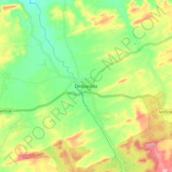
Name: Dediapada topographic map, elevation, terrain.

Location: Dediapada, Dediapada Taluka, Narmada, Gujarat, 393040, India (21.58714 73.54981 21.66714 73.62981)

Average elevation: 663 ft

Minimum elevation: 440 ft

Maximum elevation: 968 ft

Gear up for your next adventure:

🌡️Portable Weather Meter - Track weather conditions on the trail
🧭Map Reading Tools - Tools and kits for map navigation
😴Insulated Sleeping Pads - Compact and warm pads for high-elevation camping
🧭Orienteering Set - Complete compass and map reading kit
🪶LED Camping Lantern - Bright lantern for camp lighting

As an Amazon Associate, this site earns from qualifying purchases at no extra cost to you.