
Katafanga topographic map
Interactive map
Click on the map to display elevation.
About this map
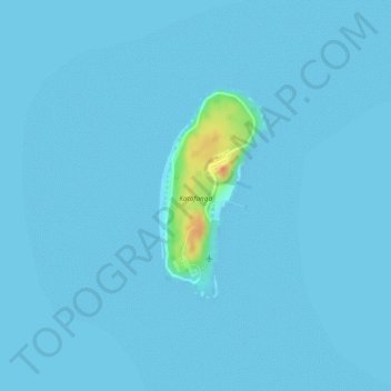
Name: Katafanga topographic map, elevation, terrain.
Location: Katafanga, Lau, Eastern, Fiji (-17.52948 -178.71892 -17.51449 -178.71084)
Average elevation: 7 ft
Minimum elevation: 0 ft
Maximum elevation: 157 ft
Other topographic maps
Click on a map to view its topography, its elevation and its terrain.
Totoya Island
Totoya Island, Tovu, Lau, Eastern, Fiji
Average elevation: 62 ft