Geolocate

Al Qastal topographic map

Click on the map to display elevation.

About this map
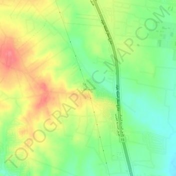
Name: Al Qastal topographic map, elevation, terrain.

Location: Al Qastal, Jizah Sub-District, Jizah District, Amman, Jordan (31.73000 35.91333 31.77000 35.95333)

Average elevation: 2,428 ft

Minimum elevation: 2,323 ft

Maximum elevation: 2,543 ft

Gear up for your next adventure:

🥤Water Filter Bottle - All‑in‑one filter bottle for safe hydration
🧭GPS Watch Accessories - Bands and chargers for GPS watches
💧Water Purification System - Clean water on the trail with reliable purifiers
🧭Orienteering Set - Complete compass and map reading kit
📶Satellite Messenger - Communication device off‑grid

As an Amazon Associate, this site earns from qualifying purchases at no extra cost to you.