
Thank you for supporting this site ❤️
Make a donation
Make a donation
Gear up for your next adventure:
As an Amazon Associate, this site earns from qualifying purchases at no extra cost to you.
Rubielos topographic map
Click on the map to display elevation.
Thank you for supporting this site ❤️
Make a donation
Make a donation
Gear up for your next adventure:
As an Amazon Associate, this site earns from qualifying purchases at no extra cost to you.
About this map
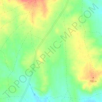
Name: Rubielos topographic map, elevation, terrain.
Location: Rubielos, Los Hinojosos, Cuenca, Castilla-La Mancha, España (39.56405 -2.84735 39.58405 -2.82735)
Average elevation: 2,536 ft
Minimum elevation: 2,451 ft
Maximum elevation: 2,635 ft
Thank you for supporting this site ❤️
Make a donation
Make a donation
Gear up for your next adventure:
As an Amazon Associate, this site earns from qualifying purchases at no extra cost to you.