
枫木镇 topographic map
Interactive map
Click on the map to display elevation.
About this map
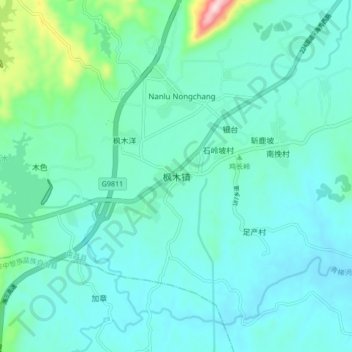
Name: 枫木镇 topographic map, elevation, terrain.
Location: 枫木镇, 屯昌县, 海南省, 中国 (19.17094 109.96982 19.25094 110.04982)
Average elevation: 469 ft
Minimum elevation: 289 ft
Maximum elevation: 1,473 ft
Other topographic maps
Click on a map to view its topography, its elevation and its terrain.