Geolocate

Sauki topographic map

Click on the map to display elevation.

About this map

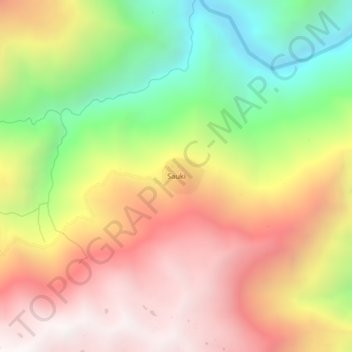
Name: Sauki topographic map, elevation, terrain.

Location: Sauki, Yanatile, Calca, Cusco, Perú (-12.95048 -71.92775 -12.91048 -71.88775)

Average elevation: 9,715 ft

Minimum elevation: 6,686 ft

Maximum elevation: 12,438 ft

Gear up for your next adventure:

🪶Multi‑Purpose Knife - Useful blade for camp and trail
📦Dry Bags Set - Waterproof storage for electronics and clothes
🗺️Topographic Maps - Detailed topo maps for hiking, exploring and outdoor navigation
🥘Titanium Cookware - Durable, featherlight pots and pans for backpacking
📡Handheld GPS Device - Reliable handheld GPS for outdoor navigation

As an Amazon Associate, this site earns from qualifying purchases at no extra cost to you.