
Thank you for supporting this site ❤️
Make a donation
Make a donation
Gear up for your next adventure:
As an Amazon Associate, this site earns from qualifying purchases at no extra cost to you.
Convento topographic map
Click on the map to display elevation.
Thank you for supporting this site ❤️
Make a donation
Make a donation
Gear up for your next adventure:
As an Amazon Associate, this site earns from qualifying purchases at no extra cost to you.
About this map
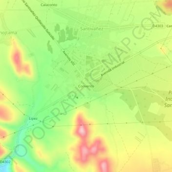
Name: Convento topographic map, elevation, terrain.
Location: Convento, Santiváñez, Capinota, Cochabamba, Bolivia (-17.58349 -66.26990 -17.54349 -66.22990)
Average elevation: 8,396 ft
Minimum elevation: 8,051 ft
Maximum elevation: 8,770 ft
Thank you for supporting this site ❤️
Make a donation
Make a donation
Gear up for your next adventure:
As an Amazon Associate, this site earns from qualifying purchases at no extra cost to you.