
Varennes topographic map
Interactive map
Click on the map to display elevation.
About this map
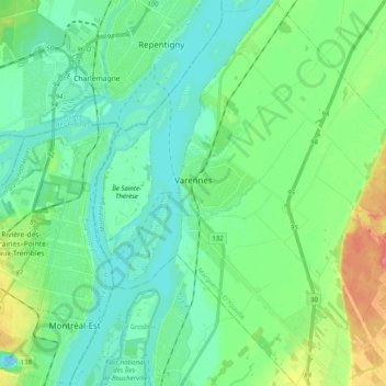
Name: Varennes topographic map, elevation, terrain.
Location: Varennes, Marguerite-D'Youville, Montérégie, Quebec, Canada (45.60916 -73.48364 45.74857 -73.32256)
Average elevation: 56 ft
Minimum elevation: -26 ft
Maximum elevation: 217 ft