
Thank you for supporting this site ❤️
Make a donation
Make a donation
Gear up for your next adventure:
As an Amazon Associate, this site earns from qualifying purchases at no extra cost to you.
Magdalena topographic map
Click on the map to display elevation.
Thank you for supporting this site ❤️
Make a donation
Make a donation
Gear up for your next adventure:
As an Amazon Associate, this site earns from qualifying purchases at no extra cost to you.
About this map
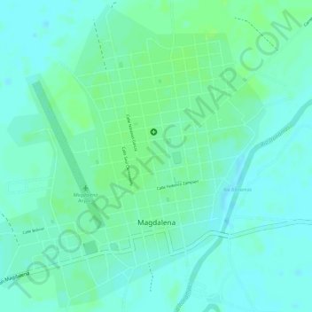
Name: Magdalena topographic map, elevation, terrain.
Location: Magdalena, Provincia de Iténez, Beni, Bolivien (-13.27116 -64.06896 -13.24489 -64.04467)
Average elevation: 463 ft
Minimum elevation: 446 ft
Maximum elevation: 479 ft
Thank you for supporting this site ❤️
Make a donation
Make a donation
Gear up for your next adventure:
As an Amazon Associate, this site earns from qualifying purchases at no extra cost to you.