
Thank you for supporting this site ❤️
Make a donation
Make a donation
Gear up for your next adventure:
As an Amazon Associate, this site earns from qualifying purchases at no extra cost to you.
Lemel topographic map
Click on the map to display elevation.
Thank you for supporting this site ❤️
Make a donation
Make a donation
Gear up for your next adventure:
As an Amazon Associate, this site earns from qualifying purchases at no extra cost to you.
About this map
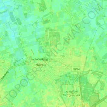
Name: Lemel topographic map, elevation, terrain.
Location: Lemel, Hapert, Bladel, Noord-Brabant, Nederland, 5527, Nederland (51.35505 5.23950 51.39505 5.27950)
Average elevation: 92 ft
Minimum elevation: 69 ft
Maximum elevation: 112 ft
Thank you for supporting this site ❤️
Make a donation
Make a donation
Gear up for your next adventure:
As an Amazon Associate, this site earns from qualifying purchases at no extra cost to you.