
Thank you for supporting this site ❤️
Make a donation
Make a donation
Gear up for your next adventure:
As an Amazon Associate, this site earns from qualifying purchases at no extra cost to you.
Condong topographic map
Click on the map to display elevation.
Thank you for supporting this site ❤️
Make a donation
Make a donation
Gear up for your next adventure:
As an Amazon Associate, this site earns from qualifying purchases at no extra cost to you.
About this map
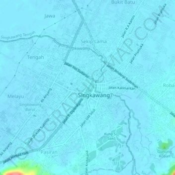
Name: Condong topographic map, elevation, terrain.
Location: Condong, Singkawang, West Kalimantan, 79113, Indonesia (0.88868 108.96753 0.92868 109.00753)
Average elevation: 13 ft
Minimum elevation: 0 ft
Maximum elevation: 249 ft
Thank you for supporting this site ❤️
Make a donation
Make a donation
Gear up for your next adventure:
As an Amazon Associate, this site earns from qualifying purchases at no extra cost to you.