
Thorner topographic map
Click on the map to display elevation.
About this map
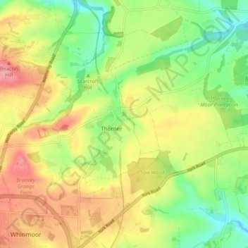
Name: Thorner topographic map, elevation, terrain.
Location: Thorner, Leeds, West Yorkshire, England, United Kingdom (53.84302 -1.47380 53.87228 -1.39166)
Average elevation: 322 ft
Minimum elevation: 171 ft
Maximum elevation: 486 ft