
Merken topographic map
Click on the map to display elevation.
About this map
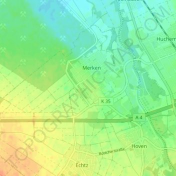
Name: Merken topographic map, elevation, terrain.
Location: Merken, Duren, Kreis Düren, North Rhine-Westphalia, Germany (50.82834 6.38563 50.85760 6.45023)
Average elevation: 371 ft
Minimum elevation: 325 ft
Maximum elevation: 433 ft