
Cebolin topographic map
Click on the map to display elevation.
About this map
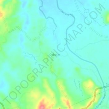
Name: Cebolin topographic map, elevation, terrain.
Location: Cebolin, Trento, Agusan del Sur, Caraga, 8505, Philippines (8.01105 126.11758 8.05105 126.15758)
Average elevation: 213 ft
Minimum elevation: 148 ft
Maximum elevation: 446 ft