
Thank you for supporting this site ❤️
Make a donation
Make a donation
Gear up for your next adventure:
As an Amazon Associate, this site earns from qualifying purchases at no extra cost to you.
Cavedon topographic map
Click on the map to display elevation.
Thank you for supporting this site ❤️
Make a donation
Make a donation
Gear up for your next adventure:
As an Amazon Associate, this site earns from qualifying purchases at no extra cost to you.
About this map
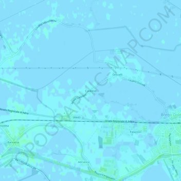
Name: Cavedon topographic map, elevation, terrain.
Location: Cavedon, Adria, Rovigo, Veneto, 45011, Italy (45.04783 12.00298 45.08783 12.04298)
Average elevation: 0 ft
Minimum elevation: -10 ft
Maximum elevation: 16 ft
Thank you for supporting this site ❤️
Make a donation
Make a donation
Gear up for your next adventure:
As an Amazon Associate, this site earns from qualifying purchases at no extra cost to you.