
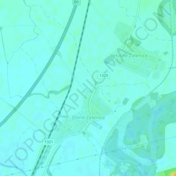
Dolné Zelenice topographic map
Interactive map
Click on the map to display elevation.
About this map
Name: Dolné Zelenice topographic map, elevation, terrain.
Average elevation: 449 ft
Minimum elevation: 433 ft
Maximum elevation: 518 ft
The municipality lies at an altitude of 138 metres and covers an area of 2.719 km². It has a population of about 534 people.
Other topographic maps
Click on a map to view its topography, its elevation and its terrain.
Hlohovec
Slovakia > Region of Trnava > District of Hlohovec
Hlohovec, District of Hlohovec, Region of Trnava, Western Slovakia, Slovakia
Average elevation: 597 ft