Geolocate

Colony topographic map

Click on the map to display elevation.

About this map

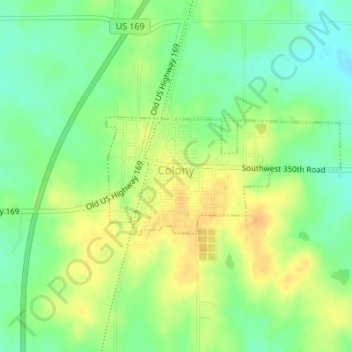
Name: Colony topographic map, elevation, terrain.

Location: Colony, Anderson County, Kansas, United States (38.06589 -95.37236 38.07491 -95.34950)

Average elevation: 1,112 ft

Minimum elevation: 1,060 ft

Maximum elevation: 1,161 ft

Anderson County trails, hiking, mountain biking, running and outdoor activities

Other topographic maps

Click on a map to view its topography, its elevation and its terrain.

Welda

United States > Kansas > Anderson County

Average elevation: 1,112 ft

Gear up for your next adventure:

🔦LED Headlamp - Bright and durable LED headlamp for night navigation
🩹Survival Bandages - High‑quality bandages for emergencies
🚗GPS Dash Cams - Record your scenic drives through mountain passes and canyons
🧭Map Reading Tools - Tools and kits for map navigation
🧢Outdoor Hiking Hat - Sun protection hat for outdoor explorers

As an Amazon Associate, this site earns from qualifying purchases at no extra cost to you.