
Thank you for supporting this site ❤️
Make a donation
Make a donation
Gear up for your next adventure:
As an Amazon Associate, this site earns from qualifying purchases at no extra cost to you.
Curico topographic map
Click on the map to display elevation.
Thank you for supporting this site ❤️
Make a donation
Make a donation
Gear up for your next adventure:
As an Amazon Associate, this site earns from qualifying purchases at no extra cost to you.
About this map
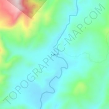
Name: Curico topographic map, elevation, terrain.
Location: Curico, Saposoa, Province of Huallaga, San Martín, Peru (-6.98052 -76.94768 -6.94052 -76.90768)
Average elevation: 2,103 ft
Minimum elevation: 1,670 ft
Maximum elevation: 3,524 ft
Thank you for supporting this site ❤️
Make a donation
Make a donation
Gear up for your next adventure:
As an Amazon Associate, this site earns from qualifying purchases at no extra cost to you.