Geolocate

Cristo Rey topographic map

Click on the map to display elevation.

About this map

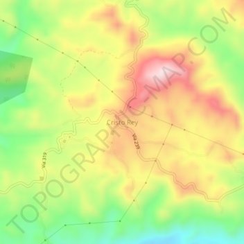
Name: Cristo Rey topographic map, elevation, terrain.

Location: Cristo Rey, Chires, Puriscal, San José, 10409, Costa Rica (9.63748 -84.46255 9.67748 -84.42255)

Average elevation: 1,125 ft

Minimum elevation: 509 ft

Maximum elevation: 1,749 ft

Gear up for your next adventure:

🧷Carabiner Set - Durable clips for gear attachment
🔦Compact Flashlight - Reliable flashlight for emergencies
⛑️Personal Locator Beacon - Safety beacon for emergencies
🪶Compact Camp Shovel - Folding shovel for campsite tasks
🪶Fire Starter Kit - Reliable fire starter for survival and camping

As an Amazon Associate, this site earns from qualifying purchases at no extra cost to you.