
寨村 topographic map
Interactive map
Click on the map to display elevation.
About this map
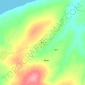
Name: 寨村 topographic map, elevation, terrain.
Location: 寨村, 儋州市, 海南省, 中国 (19.55081 109.01100 19.59081 109.05100)
Average elevation: 171 ft
Minimum elevation: -3 ft
Maximum elevation: 387 ft
Other topographic maps
Click on a map to view its topography, its elevation and its terrain.