
Thank you for supporting this site ❤️
Make a donation
Make a donation
Gear up for your next adventure:
As an Amazon Associate, this site earns from qualifying purchases at no extra cost to you.
Lumbaquí topographic map
Click on the map to display elevation.
Thank you for supporting this site ❤️
Make a donation
Make a donation
Gear up for your next adventure:
As an Amazon Associate, this site earns from qualifying purchases at no extra cost to you.
About this map
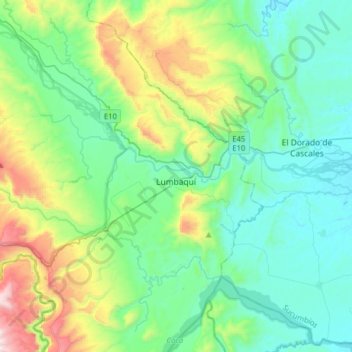
Name: Lumbaquí topographic map, elevation, terrain.
Location: Lumbaquí, Gonzalo Pizarro, Sucumbíos, Ecuador (-0.03977 -77.56657 0.14421 -77.25044)
Average elevation: 1,975 ft
Minimum elevation: 1,109 ft
Maximum elevation: 4,846 ft
Thank you for supporting this site ❤️
Make a donation
Make a donation
Gear up for your next adventure:
As an Amazon Associate, this site earns from qualifying purchases at no extra cost to you.