Geolocate

Kerai topographic map

Click on the map to display elevation.

About this map

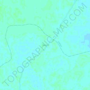
Name: Kerai topographic map, elevation, terrain.

Location: Kerai, Bibhutpur, Samastipur, Bihar, 848503, India (25.72985 85.85674 25.76985 85.89674)

Average elevation: 151 ft

Minimum elevation: 141 ft

Maximum elevation: 157 ft

Gear up for your next adventure:

🔌USB Car Charger - Car charger for on‑the‑go power needs
🦺Reflective Outdoor Gear - Safety gear for low‑light conditions
🧯Emergency Survival Kit - All‑in‑one survival essentials for the backcountry
🥇GPS Hiking Watch - Multi‑sport GPS watch with navigation and trail tracking
🏕️Family Camping Gear - Essentials for group camping trips

As an Amazon Associate, this site earns from qualifying purchases at no extra cost to you.