
Großer Alpsee topographic map
Click on the map to display elevation.
Großer Alpsee
Weniger als 200 Meter oberhalb des westlichen Ufers liegt der 4,6 ha große Teufelssee, ein Restgewässer aus der Zeit, als der See noch weiter nach Westen reichte. Er liegt im Naturpark Nagelfluhkette und grenzt im Norden an den Salmaser Höhenzug, der die nördliche Grenze der Allgäuer Alpen darstellt. Im Süden verlaufen die Allgäuer Nagelfluh-Schichtkämme. Die Konstanzer Ach verlässt ihn am Ostende durch das Pfarrdorf Bühl am Alpsee von Immenstadt und fließt kurz danach noch durch den nur etwa 7,5 Hektar großen Kleinen Alpsee ostwärts zur Iller in Immenstadt.
About this map
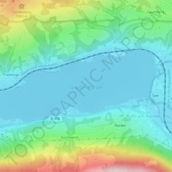
Name: Großer Alpsee topographic map, elevation, terrain.
Average elevation: 2,694 ft
Minimum elevation: 2,356 ft
Maximum elevation: 3,714 ft