Geolocate

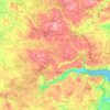
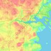
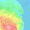
Padborg topographic map

Click on the map to display elevation.

About this map

Name: Padborg topographic map, elevation, terrain.

Location: Padborg, Aabenraa Municipality, Region of Southern Denmark, 6330, Denmark (54.80950 9.34065 54.84950 9.38065)

Average elevation: 131 ft

Minimum elevation: 13 ft

Maximum elevation: 190 ft

Other topographic maps

Click on a map to view its topography, its elevation and its terrain.
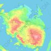
Funen

Denmark > Region of Southern Denmark

Average elevation: 62 ft

Funen

Denmark > Region of Southern Denmark

Average elevation: 62 ft

Funen

Denmark > Region of Southern Denmark

Average elevation: 62 ft

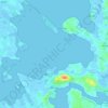
Fanø

Denmark > Region of Southern Denmark > Sønderho

Average elevation: 3 ft

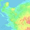
Rømø

Denmark > Region of Southern Denmark

Average elevation: 0 ft

Funen

Denmark > Region of Southern Denmark

Average elevation: 62 ft

Skarø

Denmark > Region of Southern Denmark

Average elevation: 0 ft

Guldbjerg

Denmark > Region of Southern Denmark

Average elevation: 75 ft

Egholm

Denmark > Region of Southern Denmark

Average elevation: 0 ft

Funen

Denmark > Region of Southern Denmark

Average elevation: 62 ft

Ærø

Denmark > Region of Southern Denmark

Average elevation: 10 ft

Funen

Denmark > Region of Southern Denmark

Average elevation: 62 ft

Gear up for your next adventure:

📡Handheld GPS Device - Reliable handheld GPS for outdoor navigation
🦶Hiking Gaiters - Keep debris and water out of your boots
😴Insulated Sleeping Pads - Compact and warm pads for high-elevation camping
🛌Ultralight Sleeping Bags - Compact down bags for cold nights in the wilderness
🪄Magnetic Compass - Accurate compass for navigation

As an Amazon Associate, this site earns from qualifying purchases at no extra cost to you.