
Lac-du-Cerf topographic map
Interactive map
Click on the map to display elevation.
About this map
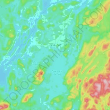
Name: Lac-du-Cerf topographic map, elevation, terrain.
Location: Lac-du-Cerf, Antoine-Labelle, Laurentides, Quebec, Canada (46.23055 -75.58483 46.35801 -75.46001)
Average elevation: 853 ft
Minimum elevation: 643 ft
Maximum elevation: 1,617 ft