Geolocate

Balboutet topographic map

Click on the map to display elevation.

About this map

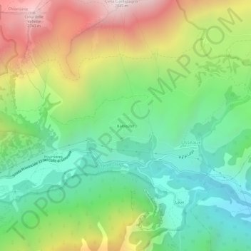
Name: Balboutet topographic map, elevation, terrain.

Location: Balboutet, Usseaux, Torino, Piemonte, Italia (45.03159 6.99394 45.07159 7.03394)

Average elevation: 5,863 ft

Minimum elevation: 3,806 ft

Maximum elevation: 9,281 ft

Gear up for your next adventure:

🦟Ultrasonic Repellers - Create a bug-free zone at your camp or rest stop
🛠️Outdoor Gear Repair Kit - Essential tools to fix gear on the trail
🪶Fire Starter Kit - Reliable fire starter for survival and camping
🏕️Tent Footprint - Protect your tent base from wear
📶Vehicle Signal Boosters - Improve reception in rural areas while driving to trailheads

As an Amazon Associate, this site earns from qualifying purchases at no extra cost to you.