
Thank you for supporting this site ❤️
Make a donation
Make a donation
Gear up for your next adventure:
As an Amazon Associate, this site earns from qualifying purchases at no extra cost to you.
A Canda topographic map
Click on the map to display elevation.
Thank you for supporting this site ❤️
Make a donation
Make a donation
Gear up for your next adventure:
As an Amazon Associate, this site earns from qualifying purchases at no extra cost to you.
About this map
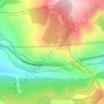
Name: A Canda topographic map, elevation, terrain.
Location: A Canda, A Mezquita, Viana, Orense, Galicia, España (42.02522 -6.99469 42.05516 -6.96175)
Average elevation: 4,295 ft
Minimum elevation: 3,369 ft
Maximum elevation: 5,407 ft
Thank you for supporting this site ❤️
Make a donation
Make a donation
Gear up for your next adventure:
As an Amazon Associate, this site earns from qualifying purchases at no extra cost to you.