
Thank you for supporting this site ❤️
Make a donation
Make a donation
Gear up for your next adventure:
As an Amazon Associate, this site earns from qualifying purchases at no extra cost to you.
Konyango topographic map
Click on the map to display elevation.
Thank you for supporting this site ❤️
Make a donation
Make a donation
Gear up for your next adventure:
As an Amazon Associate, this site earns from qualifying purchases at no extra cost to you.
About this map
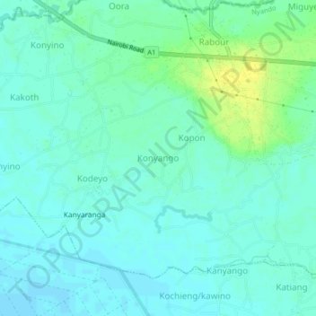
Name: Konyango topographic map, elevation, terrain.
Location: Konyango, Kobura ward, Nyando, Kisumu County, Kenya (-0.18635 34.80000 -0.14635 34.84000)
Average elevation: 3,750 ft
Minimum elevation: 3,730 ft
Maximum elevation: 3,796 ft
Thank you for supporting this site ❤️
Make a donation
Make a donation
Gear up for your next adventure:
As an Amazon Associate, this site earns from qualifying purchases at no extra cost to you.