
Horburg topographic map
Click on the map to display elevation.
About this map
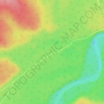
Name: Horburg topographic map, elevation, terrain.
Location: Horburg, Clearwater County, Alberta, Canada (52.40221 -115.29064 52.42221 -115.27064)
Average elevation: 3,481 ft
Minimum elevation: 3,294 ft
Maximum elevation: 3,694 ft
Other topographic maps
Click on a map to view its topography, its elevation and its terrain.