Geolocate

Gamu topographic map

Click on the map to display elevation.

About this map

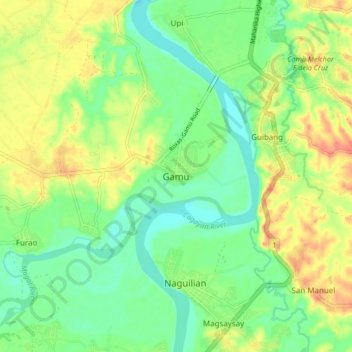
Name: Gamu topographic map, elevation, terrain.

Location: Gamu, Isabela, Cagayan Valley, 3302, Philippines (17.00734 121.79337 17.08734 121.87337)

Average elevation: 161 ft

Minimum elevation: 82 ft

Maximum elevation: 272 ft

Other topographic maps

Click on a map to view its topography, its elevation and its terrain.

Magat Dam

Philippines > Isabela

Average elevation: 577 ft

San Guillermo

Philippines > Isabela

Average elevation: 302 ft

Gear up for your next adventure:

🪶Wildlife Field Guides - Learn animal tracking and species ID
📡GPS Antenna Upgrade - Enhance GPS reception in remote terrain
🪑Portable Camp Table - Compact table for campsite meals
Camping Coffee Makers - Enjoy premium coffee at the summit or campsite
🪓Survival Multi‑Tool - Versatile tool for camp and trail tasks

As an Amazon Associate, this site earns from qualifying purchases at no extra cost to you.