
东久村 topographic map
Interactive map
Click on the map to display elevation.
About this map
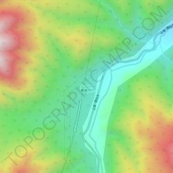
Name: 东久村 topographic map, elevation, terrain.
Location: 东久村, 鲁朗镇, 巴宜区, 林芝市, 西藏自治区, 中国 (29.81276 94.71906 29.85276 94.75906)
Average elevation: 11,043 ft
Minimum elevation: 9,744 ft
Maximum elevation: 13,130 ft
Other topographic maps
Click on a map to view its topography, its elevation and its terrain.