
排龙 topographic map
Interactive map
Click on the map to display elevation.
About this map
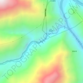
Name: 排龙 topographic map, elevation, terrain.
Location: 排龙, 鲁朗镇, 巴宜区, 林芝市, 西藏自治区, 中国 (29.99947 94.98208 30.03947 95.02208)
Average elevation: 8,376 ft
Minimum elevation: 6,391 ft
Maximum elevation: 12,178 ft
Other topographic maps
Click on a map to view its topography, its elevation and its terrain.