
Amagon topographic map
Click on the map to display elevation.
About this map
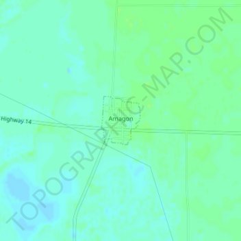
Name: Amagon topographic map, elevation, terrain.
Location: Amagon, Jackson County, Arkansas, 72005, United States (35.56014 -91.11248 35.56555 -91.10713)
Average elevation: 226 ft
Minimum elevation: 210 ft
Maximum elevation: 240 ft
Jackson County trails, hiking, mountain biking, running and outdoor activities
Other topographic maps
Click on a map to view its topography, its elevation and its terrain.
Jacksonport State Park
United States > Arkansas > Jackson County > Jacksonport
Average elevation: 226 ft
Airport Village
United States > Arkansas > Jackson County > Newport > Airport Village
Average elevation: 236 ft