
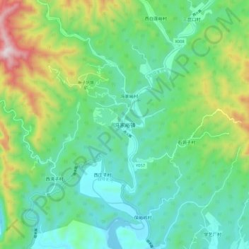
冯家峪镇 topographic map
Interactive map
Click on the map to display elevation.
About this map
Name: 冯家峪镇 topographic map, elevation, terrain.
Location: 冯家峪镇, 密云区, 北京市, 中国 (40.57925 116.82992 40.65925 116.90992)
Average elevation: 1,145 ft
Minimum elevation: 463 ft
Maximum elevation: 2,943 ft
Other topographic maps
Click on a map to view its topography, its elevation and its terrain.