
不老屯镇 topographic map
Interactive map
Click on the map to display elevation.
About this map
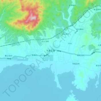
Name: 不老屯镇 topographic map, elevation, terrain.
Location: 不老屯镇, 密云区, 北京市, 中国 (40.52596 116.93178 40.60596 117.01178)
Average elevation: 673 ft
Minimum elevation: 453 ft
Maximum elevation: 2,149 ft
Other topographic maps
Click on a map to view its topography, its elevation and its terrain.