
Gammarth topographic map
Click on the map to display elevation.
About this map
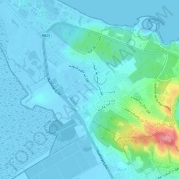
Name: Gammarth topographic map, elevation, terrain.
Location: Gammarth, Al Marsa, Tunis, 1057, Tunisia (36.89376 10.26937 36.92091 10.31496)
Average elevation: 43 ft
Minimum elevation: -23 ft
Maximum elevation: 322 ft
Other topographic maps
Click on a map to view its topography, its elevation and its terrain.
Medina of Tunis
In the case of domestic architecture, the more a building is set back from the shops, the more it is valued. The concept of withdrawal and privacy is paramount. The late introduction of a sewer system means that much waste water still flows through the streets of the Medina. The largest houses and noble places…
Average elevation: 52 ft