
Thank you for supporting this site ❤️
Make a donation
Make a donation
Gear up for your next adventure:
As an Amazon Associate, this site earns from qualifying purchases at no extra cost to you.
Chupio topographic map
Click on the map to display elevation.
Thank you for supporting this site ❤️
Make a donation
Make a donation
Gear up for your next adventure:
As an Amazon Associate, this site earns from qualifying purchases at no extra cost to you.
About this map
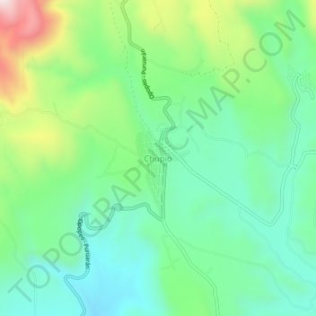
Name: Chupio topographic map, elevation, terrain.
Location: Chupio, Tacámbaro, Michoacán, México (19.15855 -101.46562 19.19855 -101.42562)
Average elevation: 3,930 ft
Minimum elevation: 3,310 ft
Maximum elevation: 5,374 ft
Thank you for supporting this site ❤️
Make a donation
Make a donation
Gear up for your next adventure:
As an Amazon Associate, this site earns from qualifying purchases at no extra cost to you.