
Jeniang topographic map
Click on the map to display elevation.
About this map
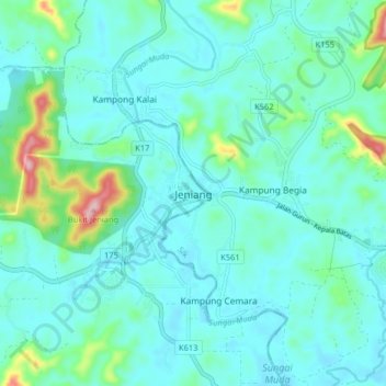
Name: Jeniang topographic map, elevation, terrain.
Location: Jeniang, Kuala Muda, Kedah, Malaysia (5.77461 100.58944 5.85461 100.66944)
Average elevation: 190 ft
Minimum elevation: 66 ft
Maximum elevation: 823 ft