Geolocate

Feldbach topographic map

Click on the map to display elevation.

About this map

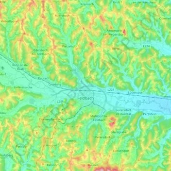
Name: Feldbach topographic map, elevation, terrain.

Location: Feldbach, Bezirk Südoststeiermark, Styria, 8330, Austria (46.89533 15.82086 47.02936 15.95108)

Average elevation: 1,102 ft

Minimum elevation: 860 ft

Maximum elevation: 1,699 ft

Gear up for your next adventure:

🔌Solar Panel Charger - Charge gear sustainably outdoors
🪓Survival Multi‑Tool - Versatile tool for camp and trail tasks
🔪Outdoor Multitools - Essential survival tools for gear repair and field use
👟Men's Trail Runners - Lightweight footwear for fast-paced exploration and light hiking
❄️Traction Cleats - Prevent slips on icy trails during winter hikes

As an Amazon Associate, this site earns from qualifying purchases at no extra cost to you.