
Thank you for supporting this site ❤️
Make a donation
Make a donation
Gear up for your next adventure:
As an Amazon Associate, this site earns from qualifying purchases at no extra cost to you.
Gallizien topographic map
Click on the map to display elevation.
Thank you for supporting this site ❤️
Make a donation
Make a donation
Gear up for your next adventure:
As an Amazon Associate, this site earns from qualifying purchases at no extra cost to you.
About this map
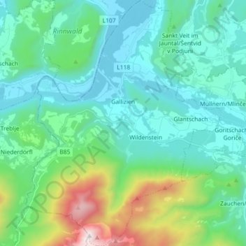
Name: Gallizien topographic map, elevation, terrain.
Location: Gallizien, Bezirk Völkermarkt, Carinthia, 9132, Austria (46.50198 14.45005 46.59942 14.56364)
Average elevation: 2,395 ft
Minimum elevation: 1,270 ft
Maximum elevation: 6,929 ft
Thank you for supporting this site ❤️
Make a donation
Make a donation
Gear up for your next adventure:
As an Amazon Associate, this site earns from qualifying purchases at no extra cost to you.