Geolocate

Groesbeck topographic map

Click on the map to display elevation.

About this map

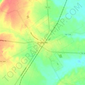
Name: Groesbeck topographic map, elevation, terrain.

Location: Groesbeck, Limestone County, Texas, 76642, United States (31.48434 -96.57387 31.56434 -96.49387)

Average elevation: 456 ft

Minimum elevation: 374 ft

Maximum elevation: 561 ft

Limestone County trails, hiking, mountain biking, running and outdoor activities

Gear up for your next adventure:

📷Action Camera - Capture your outdoor adventures in HD
🏫Relief Map Kits - Hands-on tools for teaching landforms and elevation
🏥Hiking First Aid Kits - Comprehensive medical kits for remote trail injuries
🌡️Portable Weather Meter - Track weather conditions on the trail
🧣Merino Neck Gaiters - Multi-functional headwear for wind and sun protection

As an Amazon Associate, this site earns from qualifying purchases at no extra cost to you.