
Thank you for supporting this site ❤️
Make a donation
Make a donation
Gear up for your next adventure:
As an Amazon Associate, this site earns from qualifying purchases at no extra cost to you.
Vilardongo topographic map
Click on the map to display elevation.
Thank you for supporting this site ❤️
Make a donation
Make a donation
Gear up for your next adventure:
As an Amazon Associate, this site earns from qualifying purchases at no extra cost to you.
About this map
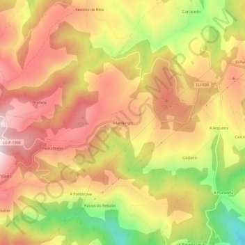
Name: Vilardongo topographic map, elevation, terrain.
Location: Vilardongo, O Padrón, Fonsagrada, Galicia, 27116, España (43.08705 -7.12521 43.12705 -7.08521)
Average elevation: 2,710 ft
Minimum elevation: 1,680 ft
Maximum elevation: 3,422 ft
Thank you for supporting this site ❤️
Make a donation
Make a donation
Gear up for your next adventure:
As an Amazon Associate, this site earns from qualifying purchases at no extra cost to you.